IndustriesCivil works
Terrain, road and sewer in one file.
From the surveyor’s point file through quantities and setting out to alignment, vertical profile, typical section and sewer long section.
For earthworks contractors who turn plans and point files into quantities, setting-out data and machine data, and for engineering offices with small municipal road and sewer projects.
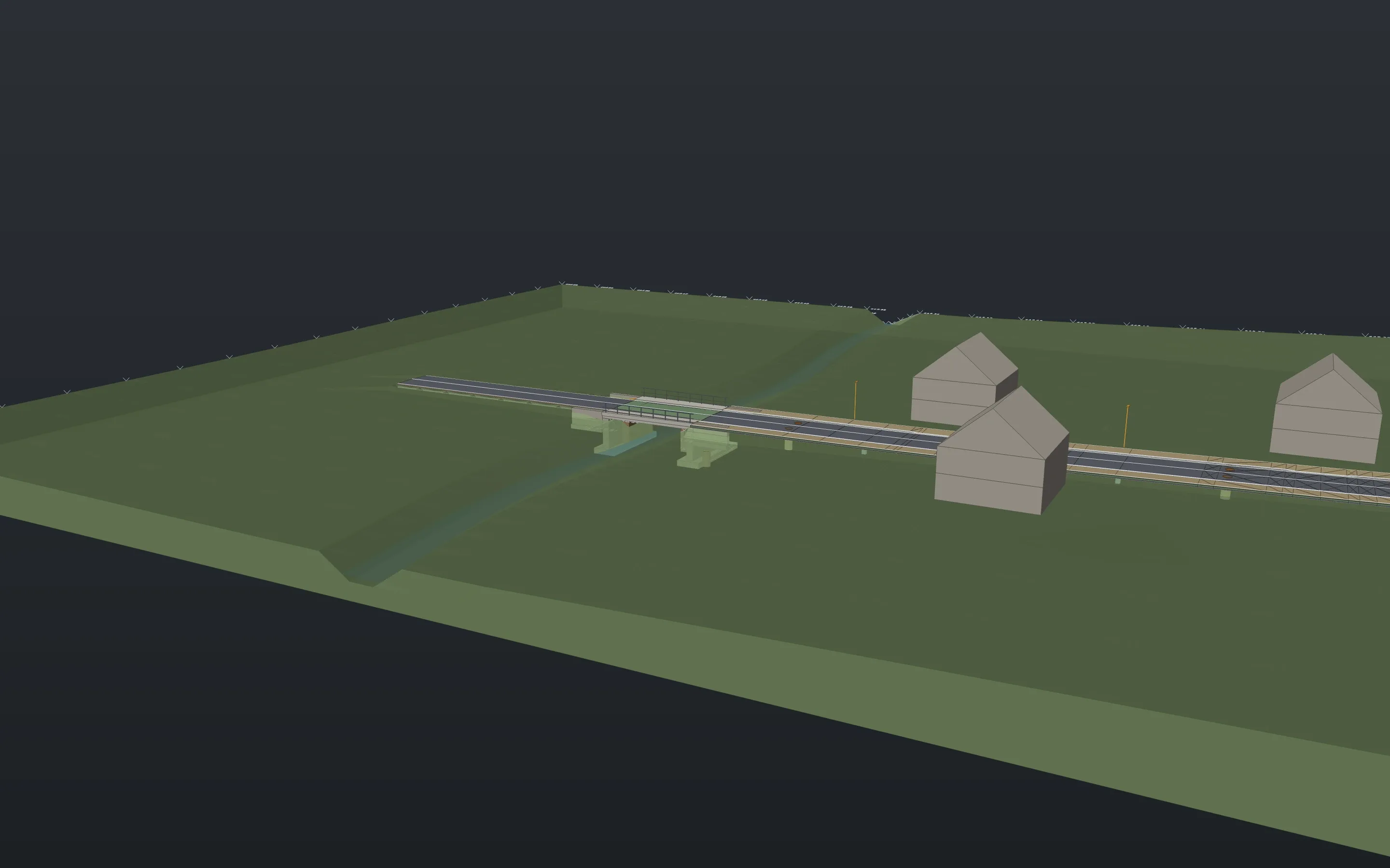
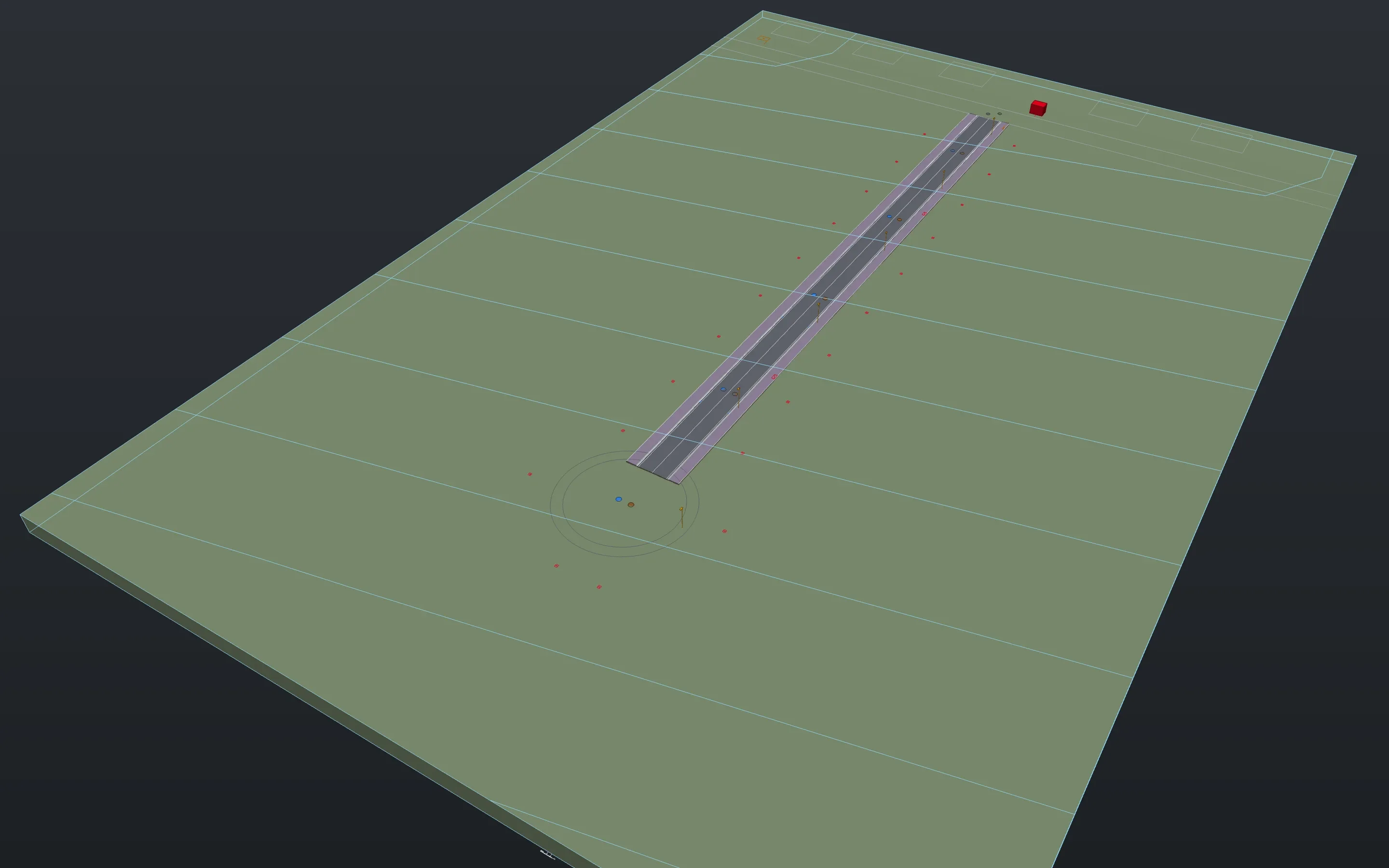
Sheets from the example projects, plotted with Linework. A click opens the whole sheet.
Survey and terrain
Read points
The surveyor’s point files (PNEZD, PENZD, CSV). Every code gets a layer, codes become breaklines on request, and the terrain is built in the same step.
surveyGrid coordinates
Gauss-Krüger to ETRS89/UTM and back through the BeTA2007 grid or an NTv2 state grid. A Helmert transformation fits site coordinates to control points. Large coordinates stay exact to the millimetre.
reprojectcalibrategeorefTerrain from what you have
From points and breaklines, from the states’ 1 m elevation models (GeoTIFF or XYZ) or from the spot heights and contours of a PDF plan. A check finds duplicate points and outliers.
terraindtmterraincheckcontourlabel
Earthworks and quantities
Pit, formation, trench
A pit or formation at its level with slopes, a pipe trench with bedding, pipe zone and backfill. Linework warns about too little cover and vertical walls above 1.25 m.
gradepittrenchQuantities with a record
Topsoil, cut, fill, bulking and lorry loads as a table or CSV, plus the prism list (the method of REB 22.013) and soil classes.
earthworkdemolitionSetting out and machine control
Setting-out points in grid coordinates as CSV, with station and offset to the alignment. The planned terrain goes out as a LandXML triangulation and as DXF, per layer if you like.
stakeoutexportDesign versus as-built
As-built points against the planned terrain: green within 3 cm, red beyond, as a table.
asbuilt
Roads
Alignment and profile
An alignment of straights, arcs and clothoids, a profile with vertical curves, both editable afterwards, also from LandXML and OKSTRA.
alignmentgradientTypical section and corridor
The typical section is assembled from parts (lane, kerb, footway, verge, swale, slope) with your pavement layers. From it comes the 3D road body, across a bridge too.
roadsectioncorridorcrossslopeLong section, cross-sections, sheet layout
A long section with bands, cross-sections with cut and fill, plan-and-profile sheets laid out along the alignment with rotated viewports.
longsectioncrosssectionsalignmentsheetsLayer quantities and level book
Layers in square and cubic metres, kerb and channel in metres, and per station the axis level and every edge with offset and level.
roadquantitieslevelbookCheck the alignment
Radii, clothoids, gradients, crests, sags and stopping sight against limits you supply. Swept paths along a line, in reverse too.
alignmentchecksweptpath
Sewers
A network of manholes and reaches
Cover levels from the road or terrain, inverts with fall and minimum cover, drops. Reach and manhole lists, numbering in the direction of flow.
sewerheightsnetlistnumberSewer long section
With bands for ground, station, cover, invert, manhole depth, reach, length, diameter and fall.
longsectionHouse connections and gullies
A junction on the reach, a pipe with fall to the plot boundary, and the list of house connections.
houseconnectionTrench and hydraulics
Excavation, shoring area, bedding and backfill per reach. Hydraulics by the time-of-flow method with utilisation and a record, for small networks.
sewertrenchsewerflow
Formats
In
Out
What is still missing
- Limits and tables from guidelines are not built in. You supply pavement build-ups, alignment limits, roughness and rainfall values.
- The German REB data types and the makers’ machine control formats are missing. LandXML and DXF go out.
- Hydraulics covers small networks by the time-of-flow method. Surcharge and flooding verification stays with specialist software.
- Junctions and roundabouts do not exist as parts. The bridge is a solid in the corridor, not a structure with analysis.
- Heights are not converted between height systems. The sewer long section does not show crossings with other utilities yet.
In the examples
Download Linework and open one of your drawings.
The app is free, for professional work too, without an account or a licence key.
- Product
- FrameMind Linework
- Version
- 0.19.2
- Date
- 13 November 2026
- Platform
- macOS, Apple silicon
- Windows
- in preparation
- Price
- free